Drone Services
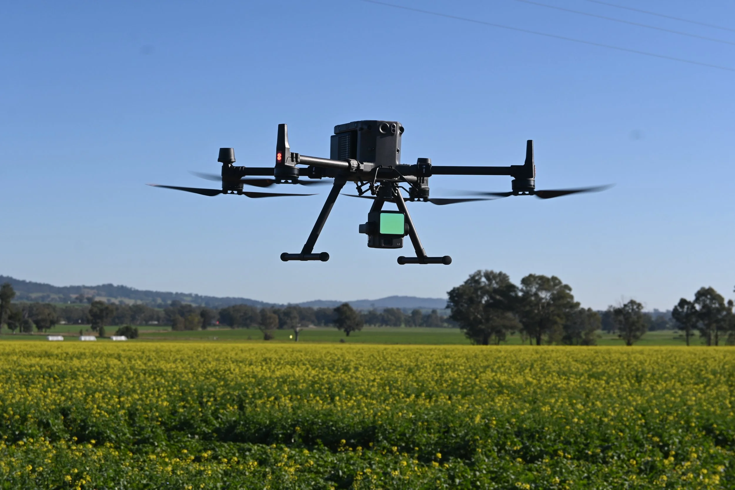
We provide services using the latest Drone Hardware and 3D software to ensure our optimised design solutions are built around and based on the latest data available. We use a DJI Matrice 350 RTK Drone with a Zenmuse L2 LiDAR Camera. Our drone has robust payload and expansion capabilities, which we have fitted a high-precision aerial LiDAR system for precise mapping and accurate data collection. Some of our capabilities include: Detailed Aerial Photography, Accurate Stockpile Volumetric Analysis, and Extensive Topographical Survey Point Clouds.
Rigore Pty Ltd ARN: 1272020
RIgore Pty Ltd ReOC: CASA.ReOC.9229
Click here for our Aerial Survey Capabilities Statement
Our Experienced Personnel:

Zach walgers
Chief Remote Pilot
ARN: 1180710

james gorrie
Remote Pilot
ARN: 1252668